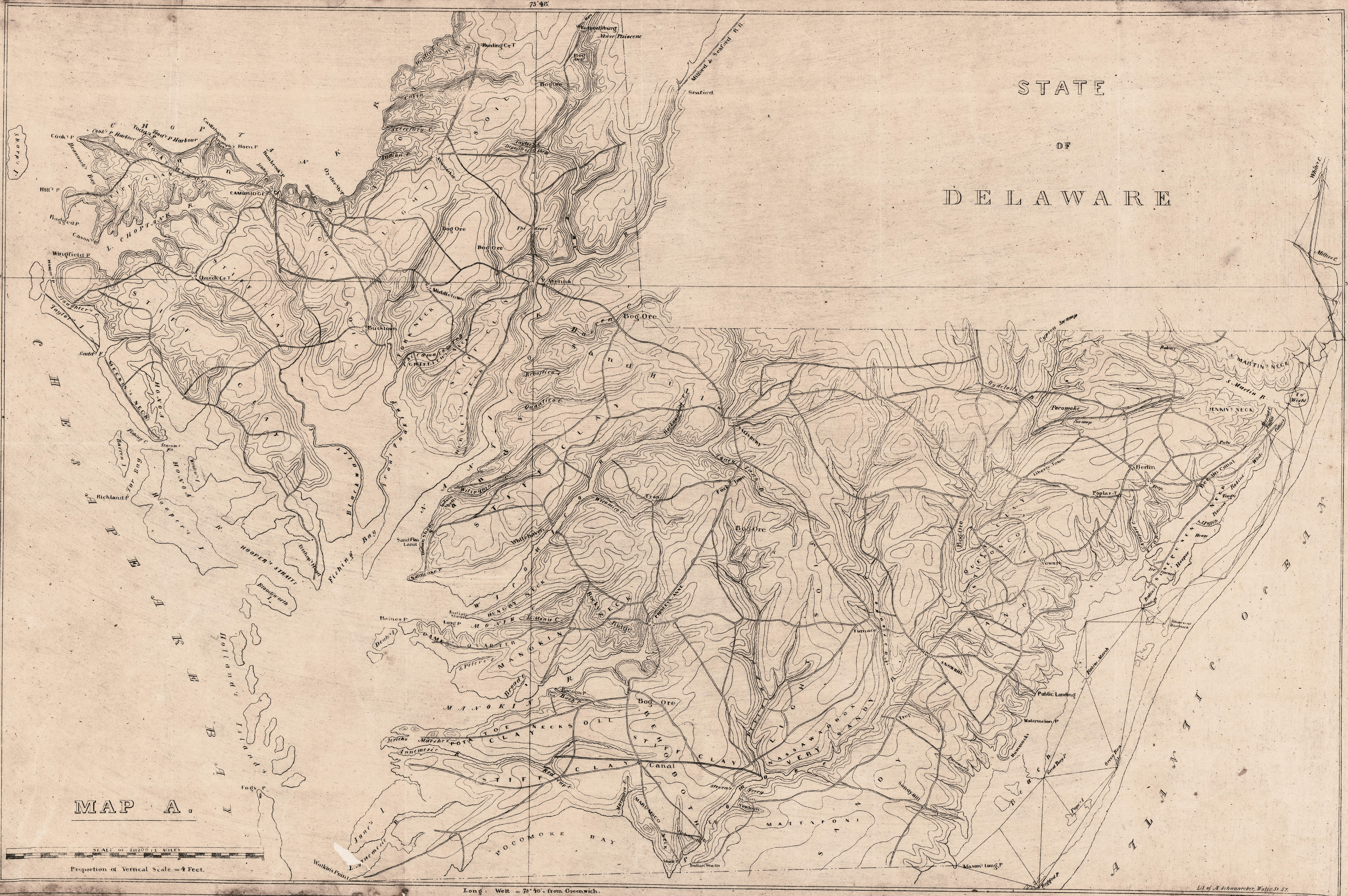
1835 Map of the Lower Shore
This is an 1835 map by J.H. Alexander showing the lower shore - Dorchester, Somerset (including what is now Wicomico), and Worcester Counties - its towns, waterways, and soil types.
Click on the thumbnail to see the full (large file) image.